Gold —USD/ozt
Silver —USD/ozt
Copper —USD/lb
Platinum —USD/ozt
Loading current metal prices. Data: Gold API
Pontiac Subprovince · Temiscamingue, Quebec, Canada

A Polymetallic Corridor South of Canadian Malartic

Pontiac Metals Corporation has secured four confirmed gold, copper, and silver showings in Fabre Township, on the same Cadillac-Larder Lake Deformation Zone system, and the same intrusion-hosted deposit style, that defines Canadian Malartic. A proven anchor, real regional upside, and a program built to test whether it becomes a district.

10.4 km
EXPLORATION CORRIDOR
4
CONFIRMED SHOWINGS
180 m
TESTED STRIKE, ZONE N
30.5 g/t
BEST GOLD SAMPLE (PATRIE)
$2.5M
INITIAL RAISE
The Opportunity

A proven vein system, in a proven deposit style, still untested at scale.

Zone N, the anchor of this project, has real bones: 180 metres of tested strike, over 60 metres of confirmed depth, drill and channel grade behind it, not just surface samples, and it is still open. A 1942 drill program found four additional mineralized zones, 4.5 to 9 metres thick, beyond anything the original trenches ever exposed. Nobody has followed that up since.

Two more showings, Terrain Kosa and Patrie, sit within 11 kilometres, sharing the same intrusion-related genetic setting the geological literature uses to explain Canadian Malartic itself. Neither has been drill tested. That is the actual opportunity here: a funded, systematic program to find out whether four independent showings are one district, or three separate targets worth pursuing on their own terms.

Why this ground
1
Fabre Township sits in the Pontiac Subprovince, immediately south of the Cadillac-Larder Lake Deformation Zone, the same trans-crustal structure whose north side hosts Canadian Malartic and Wasamac.
2
The deposit style matches: polymetallic gold-copper-silver mineralization localized at granodiorite and diorite intrusions cutting Pontiac Group metasediments, the documented regional control for Malartic-style gold.
3
The land is secured. All four showings are confirmed open through Quebec's GESTIM registry, with no restricted-area conflicts.
4
The project sits at the tectonic meeting point of two of North America's major geological provinces: the Pontiac Subprovince's own southern boundary is the Grenville Front, and the Lithoprobe Abitibi-Grenville deep seismic transect crosses that exact boundary near Lac Temiscamingue, immediately adjacent to this ground.
The Project

One anchor, two regional targets, one open question

Zone N and Zone E sit half a kilometre apart, almost certainly one system, drilled by the same operator in the 1940s. Terrain Kosa and Patrie sit further out, sharing the same intrusion-related genetic style but with weaker evidence and no drilling. The program is designed to test the ground between and around all four, not to assume they already connect.

NORTH SOUTH Terrain Kosa 2.68% Cu, 2.47 g/t Au (grab) Zone N 3.12% Cu / 0.6 m (drilling) Zone E 1.85% Cu / 2.4 m (channel) Patrie 30.5 g/t Au (grab) Zone N-E: 0.56 km, one drilled system

Schematic corridor diagram, ordered north to south by surveyed coordinates. Not to scale; not a geological base map.
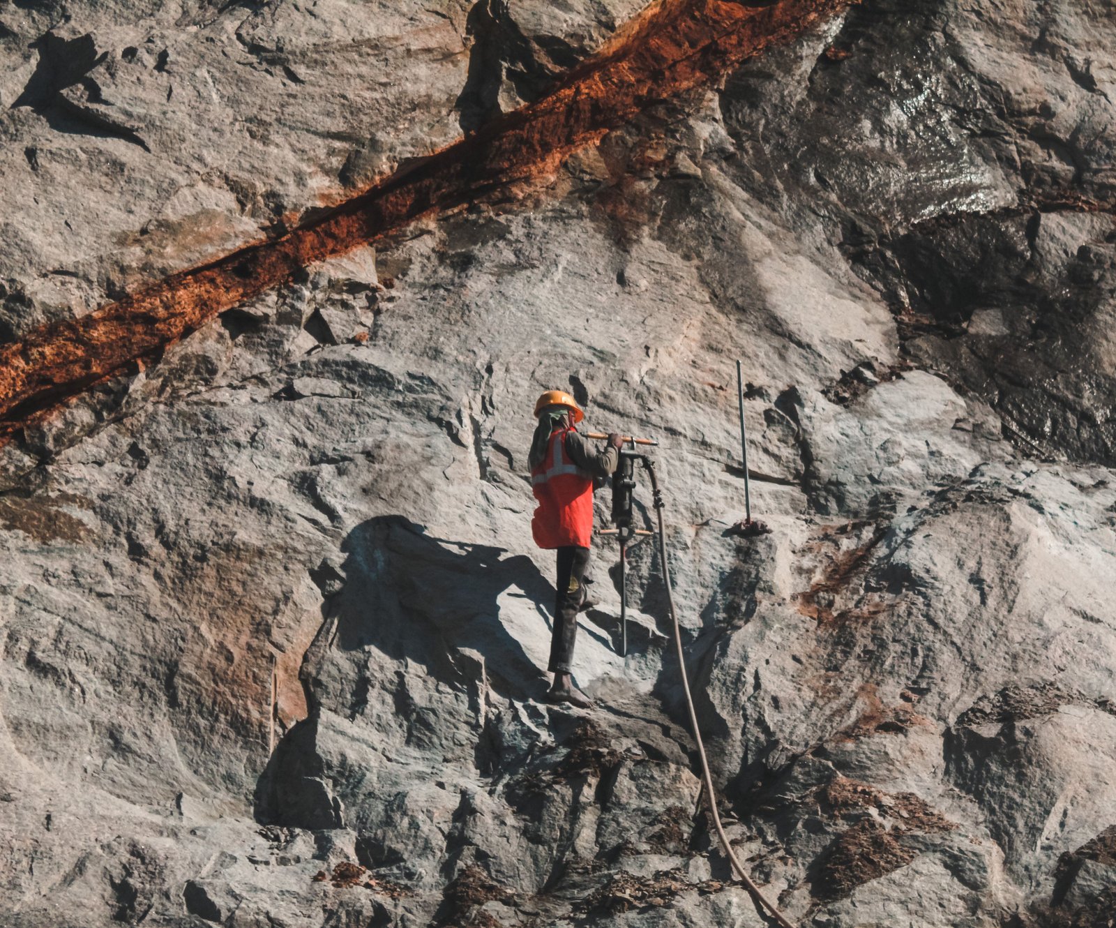
Structurally controlled mineralization at an exposed rock face
Representative image · structurally controlled gold-copper mineralization, Superior Province greenstone/metasedimentary terrain
The Showings

Four showings, one secured land position

Zone N
DRILL-CONFIRMED · ANCHOR TARGET
3.12% Cu / 0.6 m
drilling, hole IX · plus 2.06 g/t Au / 1.4 m (channel)
Shear-hosted quartz vein cutting a granodioritic intrusion. 180 m tested strike, 60+ m depth, open. Four unreported 1942 zones (4.5 to 9 m thick) remain untested.
Zone E
DRILL-TESTED · 0.56 KM FROM ZONE N
1.85% Cu / 2.4 m
channel · plus 2.94 g/t Au (grab)
Same genetic style as Zone N, sheared volcanic inclusion within granodiorite. 1952 drilling found two near-parallel mineralized zones.
Terrain Kosa
SURFACE GRAB · 4.2 KM FROM ZONE N
2.68% Cu, 2.47 g/t Au, 19.5 g/t Ag
selective/dump sample
Three-metal signature in gabbro near a Huronian unconformity. Structural control undetermined; undrilled.
Patrie
SURFACE GRAB · 6.6 KM FROM ZONE N
30.5 g/t Au
selective sample
High-grade shear vein in gneiss, N045 trend, 45 m exposed. A different host and style than Zone N/E; no drilling, "showing, no work" stage.

Sample types are reported exactly as classified in the primary Quebec SIGEOM mineral inventory record for each occurrence. Grab, channel, and bulk samples are selective by nature and are not representative of average or deposit-scale grade. No mineral resource has been estimated for this project.

Property Profiles

A geological breakdown of each showing

Compiled from Quebec Government SIGEOM mineral inventory records. Gold values are presented first at every showing; copper and silver, where present, are genuine credits that strengthen the economics rather than the primary target.

Where two provinces meet
Fabre Township sits in the Pontiac Subprovince, the southeasternmost domain of the Archean Superior Province. The Pontiac's own boundaries are geologically definitive: the Larder Lake-Cadillac Deformation Zone to the north, and the Mesoproterozoic Grenville Front, marking the edge of the roughly 1.0 to 1.3 billion year old Grenvillian orogeny, to the south. The Lithoprobe Abitibi-Grenville deep seismic transect, one of the most detailed crustal surveys ever run across this boundary, crosses the Grenville Front near Lac Temiscamingue, in the immediate vicinity of this project. Few gold projects anywhere sit this close to a first-order boundary between two entire geological provinces.
Zone NDRILL-CONFIRMED · ANCHOR
Fabre Township · 627,352 E / 5,229,183 N (NAD83 Z17) · Discovered 1938
Host & Lithology
A quartz vein and chlorite schist along a shear zone cutting the diorite phase of a subvolcanic granodioritic intrusion. Vein N strikes N160°, dips steeply west, and measures up to 1.2 m wide at its north end before pinching out to the south.
Structural Control
Underground workings trace the vein 180 m along strike and over 60 m down dip, still open. A 1942 drill program identified four additional mineralized zones, 4.5 to 9 m thick, beyond the original trench exposures, never followed up since.
Alteration & Mineralization
The diorite is altered to a silicified chlorite schist at the mineralized margin. Vein and wallrock carry roughly 10% disseminated pyrite and chalcopyrite, with gold accompanying the copper throughout.
Geological Note
The best gold result comes from the same channel program that returned the property's strongest copper values, direct evidence gold and copper travel together here as one system, not two.
Grade Evidence (Au first)
2.06 g/t Au / 1.4 mchannel
0.24 g/t Au + 2.38% Cu / 0.51 mchannel
3.12% Cu / 0.6 mdrilling
2.98% Cu / 0.9 mdrilling
Zone EDRILL-TESTED
Fabre Township · 627,432 E / 5,228,633 N (NAD83 Z17) · Discovered 1936
Host & Lithology
Mineralization confined to a sheared, elongated greenstone inclusion within granodiorite, striking E-W and dipping 65° north; some historic workers logged the inclusion as a dyke.
Structural Control
The shear is exposed over 30 m before passing under overburden at both ends. 1952 drilling found two near-parallel mineralized zones.
Alteration & Mineralization
Chloritization of the volcanic inclusion within the shear's influence; quartz stringers carry pyrite with lesser chalcopyrite, and drilling logged minor chalcopyrite alongside locally considerable pyrite and magnetite.
Geological Note
Sits 0.56 km from Zone N on the same structural trend, drilled by the same historic operator, and read as one system rather than two separate showings.
Grade Evidence (Au first)
2.94 g/t Augrab
1.85% Cu / 2.4 mchannel
Terrain KosaSURFACE GRAB
Fabre Township · 629,875 E / 5,232,603 N (NAD83 Z17) · Discovered 1906
Host & Lithology
Archean gabbro, anorthositic in composition and alternatively logged as a hornblende monzodiorite, cut by irregular anorthosite dykes, near an unconformable contact with Gowganda Formation (Huronian) argillite.
Structural Control
A fracture and shear network crosses the gabbro exposures, typically accompanied by quartz veinlets. The primary source record logs structural control itself as indeterminate, insufficient data collected to date.
Alteration & Mineralization
Saussuritization near the mineralization, with silicification also noted. Massive to disseminated pyrite and chalcopyrite; year-2000 sampling confirmed a genuine three-metal signature across multiple selected samples.
Geological Note
The strongest three-metal signature on the property, gold, copper, and silver together, but also the least structurally defined. A priority target for Phase 1 geophysics precisely because that definition is still missing.
Grade Evidence (Au first)
3.97 g/t Auselected
2.90 g/t Au + 2.11% Cuselected
2.47 g/t Au + 2.68% Cu + 19.5 g/t Agdump sample
1.60 g/t Au + 2.09% Cuselected
PatrieSURFACE GRAB · HIGHEST GRADE
Fabre Township · 626,929 E / 5,222,579 N (NAD83 Z17) · Discovered 1987
Host & Lithology
Gneiss cut by a mineralized quartz vein, a genuinely different host rock and deformation style than the other three showings on the property.
Structural Control
A shear zone striking N045° hosts a subvertical vein traced 45 m along strike. A roughly 2 m exploration shaft confirms the vein's attitude at shallow depth.
Alteration & Mineralization
Disseminated pyrite within the quartz vein and the immediately encasing gneiss. Gold only, no copper reported here.
Geological Note
The single highest-grade gold result anywhere on the property, from an old exploration pit, with a much weaker companion sample from the same working. Genuinely exciting, genuinely unproven, no drilling has ever tested it.
Grade Evidence (Au first)
30.5 g/t Augrab, exploration pit
1.0 g/t Augrab

Sample types are reported exactly as classified in the primary Quebec SIGEOM mineral inventory record for each occurrence. Grab, selected, channel, and dump samples are selective and are not representative of average or deposit-scale grade. Terrain Kosa's structural control and Patrie's drill status are stated plainly above rather than implied. No mineral resource has been estimated for this project.

Regional Pedigree

The same structure, the same deposit style

Canadian Malartic
Agnico Eagle · 100% owned
Canada's largest gold mine, hosted in Pontiac Group metasediments intruded by granodiorite to diorite bodies, the identical deposit style documented at Zone N and Zone E.
Wasamac
Agnico Eagle · acquired 2023
1.38 million ounces probable reserves at 2.9 g/t Au, on the same Cadillac-Larder Lake Deformation Zone system this project sits directly south of.

Shown for structural and genetic comparison only. These are established, extensively drilled deposits; this project is an early-stage exploration property with no comparable drill density or resource estimate.

The Plan

$2,500,000 Initial Raise

Funding depth and strike extension at the proven anchor, and a systematic test of whether the regional showings connect into a district.

Diamond Drilling, Zone N/E Depth & Strike Extension$750,000 · 30%
Corridor Geophysics (IP + Magnetics)$550,000 · 22%
Regional Exploration (Kosa, Patrie & Connecting Ground)$400,000 · 16%
Corporate, G&A & Professional Fees$350,000 · 14%
Working Capital / Contingency$300,000 · 12%
Claim Expansion & Consolidation$150,000 · 6%

Initial claims are secured over all four confirmed showings, verified open through GESTIM with no restricted-area conflicts. Claim Expansion & Consolidation funds staged staking of the connecting corridor as exploration results define priority ground, the same disciplined approach applied across the Company's Quebec projects.
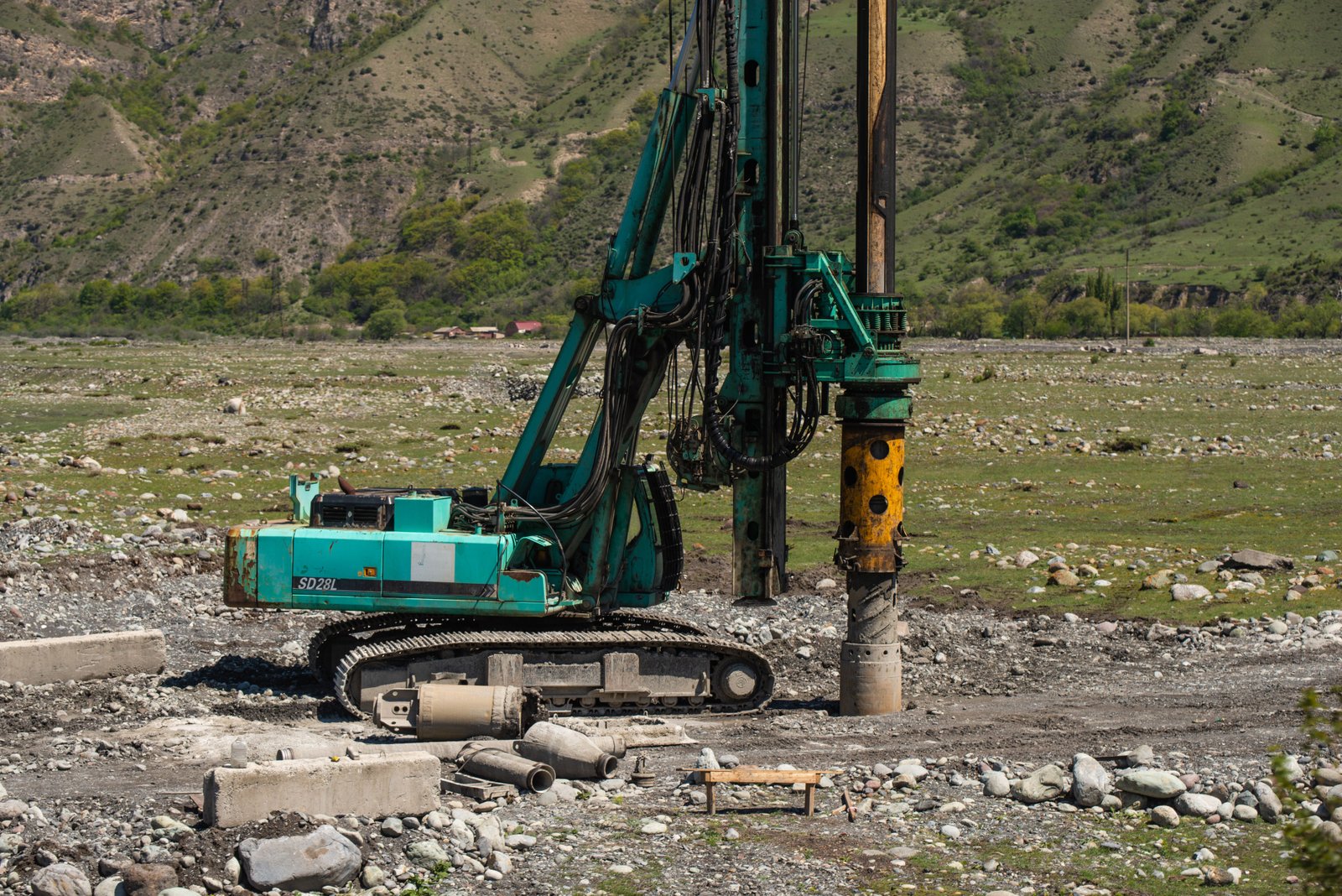
Diamond drill rig at an exploration site
Representative image · diamond drill rig, exploration-stage program

A proven anchor. A real question. A funded answer.

Pontiac Metals Corporation is raising $2,500,000 to test depth and strike at Zone N, and to find out whether Terrain Kosa and Patrie extend the same system into a genuine district, on the same structural trend that built Canadian Malartic.

Request the Investor Deck

This website is provided for information purposes to prospective investors and does not constitute an offer to sell, or a solicitation of an offer to buy, any security in any jurisdiction. Any offering will be made only pursuant to definitive offering documents and applicable exemptions under Canadian securities law.

This website contains forward-looking statements, including statements regarding exploration plans, use of proceeds, and potential outcomes, which are subject to significant risks and uncertainties. Historic grade data is drawn from Quebec Government SIGEOM mineral inventory records and referenced assessment files and has not been independently verified by a Qualified Person under National Instrument 43-101. No mineral resource or mineral reserve has been estimated for this project. Grab, channel, and bulk samples are selective and are not necessarily representative of broader mineralization.

© 2026 Pontiac Metals Corporation. All rights reserved.